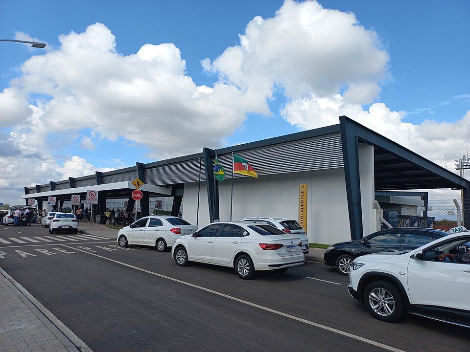
Photo: Sintegrity — CC BY-SA 4.0, via Wikimedia Commons
_03.jpg)
Where you can drive from PFB
Towns and cities of 15 000 people or more within 150 km, largest first. The bar shows how far each one is; the distance is straight-line, so plan for a longer drive.
| Place | People | km | Dir. |
|---|---|---|---|
| Chapecó | 282 648 | 131 | N |
| Passo Fundo | 214 811 | 8 | W |
| Bento Gonçalves | 127 977 | 130 | SE |
| Erechim | 96 087 | 68 | N |
| Lajeado | 93 646 | 141 | S |
| Concórdia | 75 167 | 116 | N |
| Farroupilha | 70 286 | 145 | SE |
| Vacaria | 64 197 | 140 | E |
| Carazinho | 62 265 | 45 | W |
| Cruz Alta | 58 913 | 133 | W |
| Marau | 44 858 | 26 | SE |
| Panambi | 44 128 | 115 | W |
Other pickup airports nearby
The same trip started from a different airport is a different rental market, and the nearest airport is not always the cheaper one.
Check rates at PFB
Live rates open with our booking partner
This airport
- IATA
- PFB
- ICAO
- SBPF
- Region
- Rio Grande do Sul
- Country
- Brazil
- Drives on
- right
- Coordinates
- -28.244, -52.328
- Elevation
- 2 380 ft
- Size
- medium